FIVECROPS
Five urban extractions from a cycling map of Los Angeles


ABOUT FIVECROPS
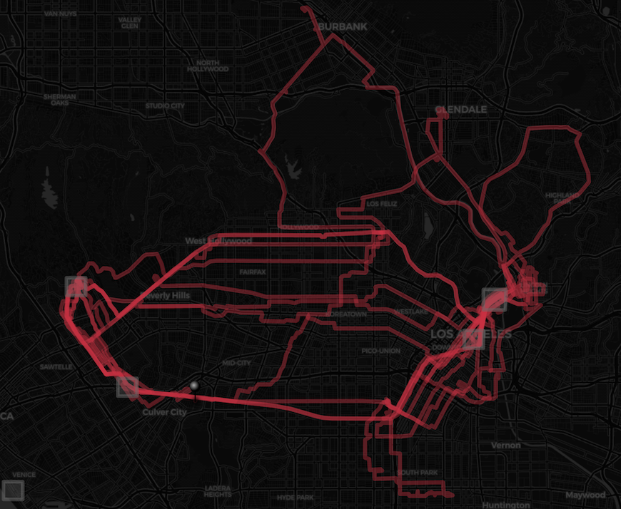
FiveCrops emerged from the daily practice of cycling through Los Angeles. After two months of pedaling, a map was built through movement: street by street, neighborhood by neighborhood. From this accumulated cartography, five areas of particular density were extracted: arbitrary yet precise cutouts in the urban fabric.
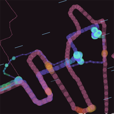
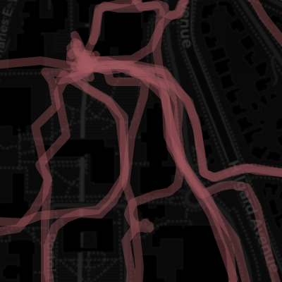
Each cutout visualizes all the times I've passed through that area, superimposed and animated. The accumulated routes reveal something invisible in everyday experience: the weight of presence, the rhythm of the return, the texture of a neighborhood absorbed by the body on the bicycle.
Sound responds to a possible representation of contextual data: elevation becomes audible frequency, and speed shapes that sound; the wind modulates the result. The city expresses itself through its own physical parameters.
FiveCrops is a rhizomatic detour within Flowing Cartographies — a cartographic laboratory where interpretive tools are built, tested and iterated in small portions of territory.